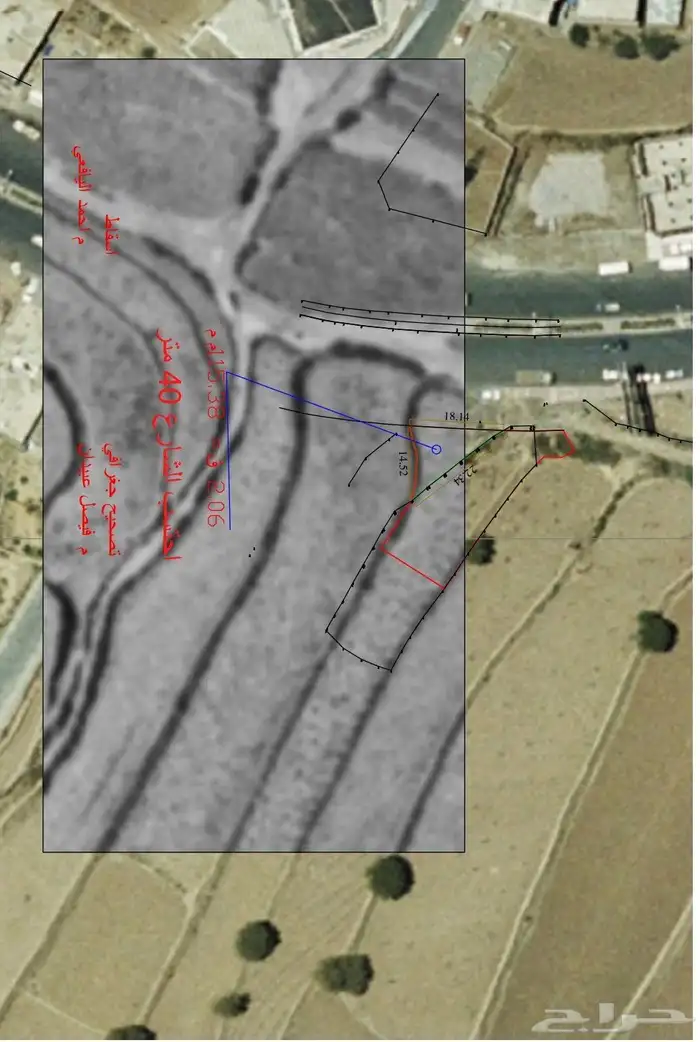
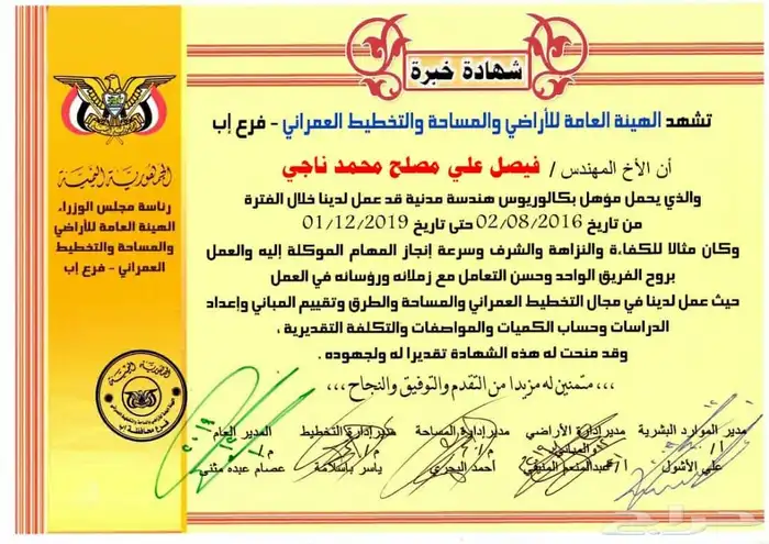
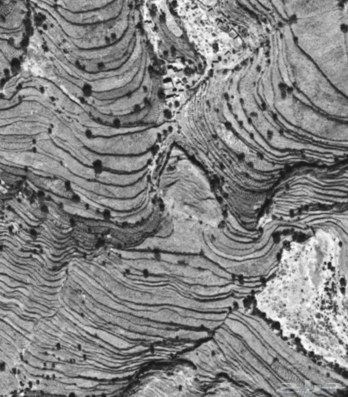
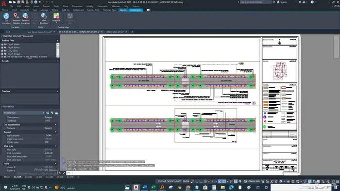
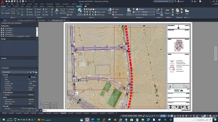
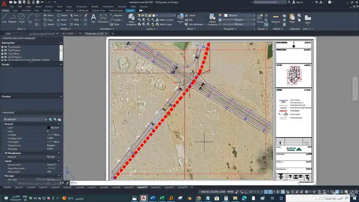
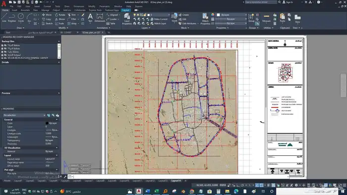
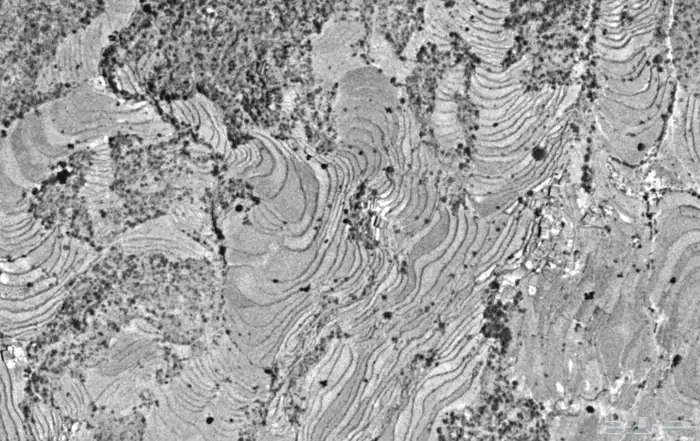
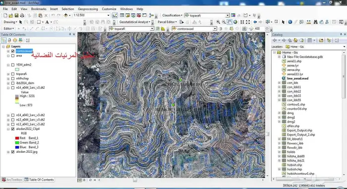
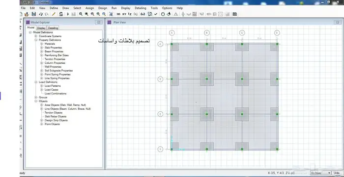
Civil engineer with 12 years of experience. GIS and RS professional available. We have old aerial photos dating back to the 1960s, 1970s, and 1980s to show differences between the past and present, and to show land overlaps for resolving disputes and settling conflicts using georeferencing techniques in GIS. We also provide hydrological reports, contour maps, geological maps, and spatial analysis using GIS.